
Ghozian Islam
Karami
Bridging academic rigor with industry practice — 10+ years in mine geology, resource estimation, and geostatistics. Building the tools that move Indonesian mining forward.
The Competent Person who codes
I'm a Senior Geologist with over 10 years of experience in mine geology, exploration, resource modeling, and reserve estimation. As a certified Competent Person (CP) under KCMI and JORC, I have the authority to sign reserve statements — and the rare ability to build the software those statements rely on.
I hold a Master of Science in Geological Sciences from King Fahd University of Petroleum & Minerals (KFUPM), where I studied on a Saudi Government scholarship. My research focused on geostatistical modeling of satellite observations for hydrogeology — bridging the space between data science, remote sensing, and earth science.
I'm the creator of Orebit — a free-to-use geological workflow toolkit aligned with SNI 4726:2019, KCMI, and JORC. My work has been recognized with the Best Operational Manager 2024 award and BNSP certification.
A decade in the field
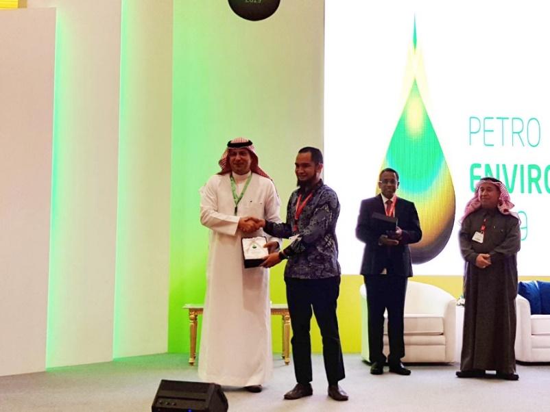
Best Operational Manager
Awarded for excellence in operational management — recognized across the mining operation for driving efficiency and technical discipline.
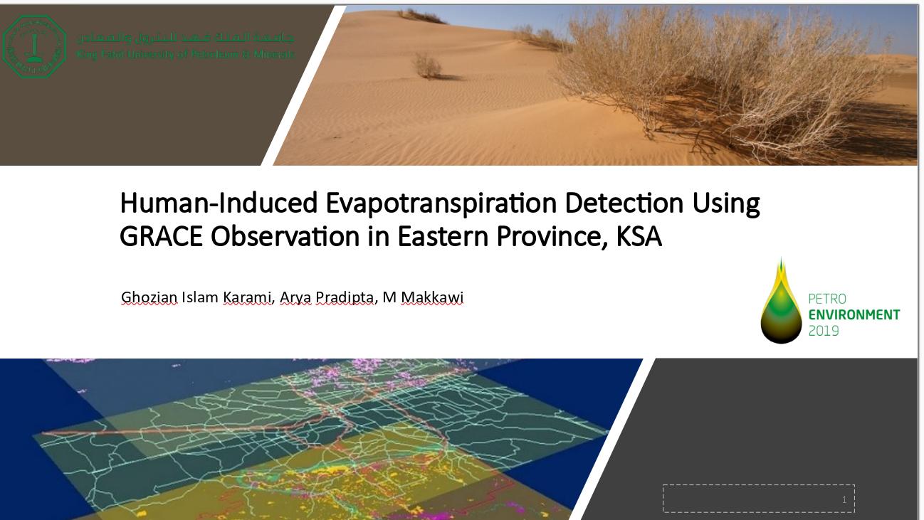
Invited Speaker — International Conferences
Presented on resource estimation methodology, geostatistical methods, and the role of open-source tools in modern geology.
Competent Person — Reserve Estimation
Certified under KCMI and JORC. Authority to sign reserve statements and resource classification reports for public disclosure.
BNSP Certified
Nationally recognized professional certification from the Indonesian National Professional Certification Agency.
KFUPM — M.Sc. Geological Sciences
Saudi Government scholarship. Research in geostatistical modeling of satellite observations for hydrogeology — at the intersection of remote sensing, data science, and earth science.
10+ Years — Mining Industry
Senior Geologist across exploration, resource modeling, mine geology, and reserve estimation. Field work spanning multiple commodities and deposit types across Indonesia.
Tools & methods
Things I've built
Orebit — Geological Workflow Toolkit
Free-to-use geological workflow toolkit aligned with SNI 4726:2019, KCMI, and JORC. Three modules covering the full drillhole-to-resource estimation pipeline. Offline-first, privacy-first, built for real mining workflows.
Orebit GeoSuite
Complete drillhole-to-resource workflow as a Windows desktop EXE. Three modules covering the full estimation pipeline.
PublicationOrebit Blog
58+ technical articles on geostatistics, resource estimation, and JORC/KCMI compliance — in English and Bahasa Indonesia.
GeoDataViz
In-house resource estimation and classification software, built from the ground up for real mining workflows.
geosR
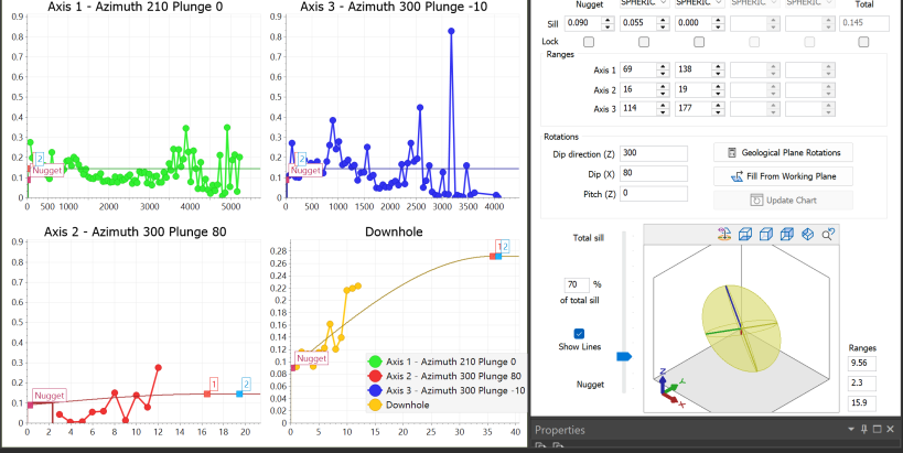
R package for geostatistics — variogram modeling, kriging, and simulation. Open-source and documented.
R::Gstat Variogram
Geostatistical analysis methods for trend interpretation — published research applicable to mining and hydrogeology.
Open-Source Geological Mapping
Complete geological map produced using only open-source: QGIS, SAGA, Groundhog, R, and Python.
R for Geoscientists
Technical content series on Medium bridging data science and geoscience — for practitioners who want to code.
Field & work
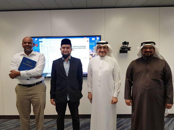
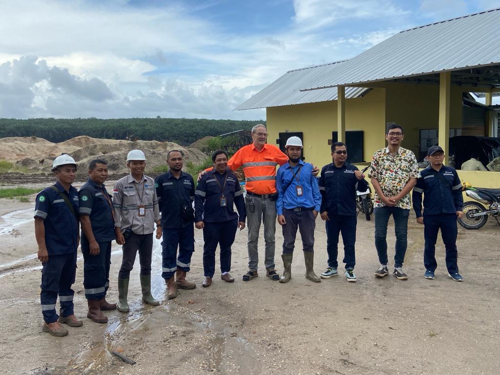
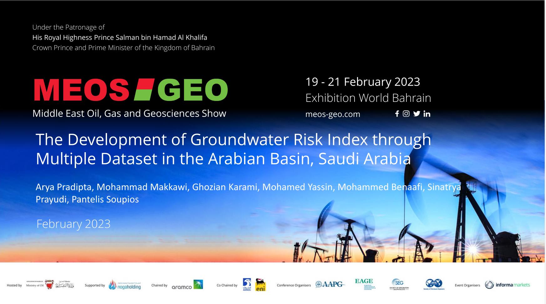
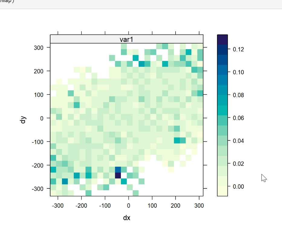
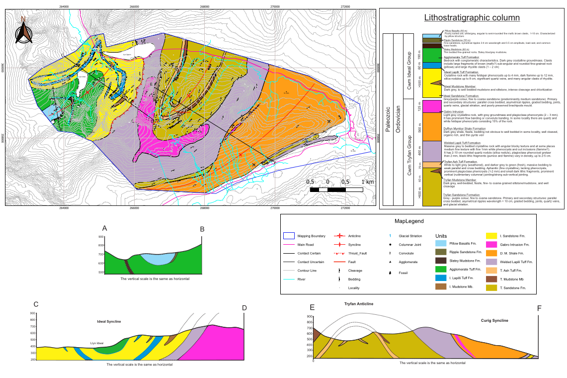
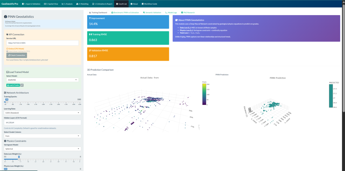
Click any photo for a larger view. More on @orebit.id.
What drives me
Vision
A world where every geologist — from junior explorationist to senior resource estimator — has access to transparent, auditable, professional-grade digital tools. No black boxes. No gatekeeping.
Mission
Close the gap between modern data-science methods and everyday geoscience practice. Build open, offline-first tools. Create technical content in Bahasa Indonesia for the next generation of Indonesian geologists.
Let's work together
Questions, collaboration, or consulting inquiries — I'm reachable and responsive.